Our guides
Paris neighborhoods map
A map of Paris neighborhoods: the 20 arrondissements, their 80 administrative districts and the thirteen areas we compare for a stay. Checked October 2026.
The neighbourhoods side by side: arrondissements, metro lines, journey times and who they suit.
| Neighbourhood | Arr. | Metro & RER | To The Louvre (pyramid) | To Eiffel Tower | To Notre-Dame de Paris | Classified hotels | First visit | Couples | Families | Budget | Nightlife | In short |
|---|---|---|---|---|---|---|---|---|---|---|---|---|
| Louvre & Tuileries | 1st | Metro 1, 7, 14, RER A, RER B | 12 min | 30 min | 16 min | 71 | Recommended | Recommended | Possible | Not ideal | Possible | Museums, gardens, 5★ hotels |
| Opéra & Grands Boulevards | 2nd 9th | Metro 3, 7, 8, 9, 14, RER A, RER E | 12 min | 26 min | 17 min | 139 | Recommended | Possible | Possible | Recommended | Possible | Passages, theatres, transport hub |
| Le Marais | 3rd 4th | Metro 1, 3, 7, 8, 11 | 17 min | 38 min | 19 min | 70 | Recommended | Recommended | Possible | Possible | Possible | Historic centre, Sunday opening |
| Saint-Germain-des-Prés | 6th 7th | Metro 4, 10, 12, RER B, RER C | 13 min | 30 min | 12 min | 86 | Recommended | Recommended | Possible | Not ideal | Possible | Left Bank cafés and garden |
| Latin Quarter | 5th | Metro 7, 10, RER B, RER C | 24 min | 31 min | 12 min | 82 | Recommended | Recommended | Recommended | Possible | Possible | Sorbonne, Panthéon, Jardin des Plantes, rue Mouffetard |
| Montparnasse | 14th 15th | Metro 4, 6, 12, 13 | 23 min | 23 min | 21 min | 206 | Recommended | Possible | Possible | Recommended | Possible | Station, brasseries, theatres, no 5★ |
| Eiffel Tower | 7th 15th | Metro 6, 8, 9, RER C | 21 min | 14 min | 26 min | 92 | Possible | Recommended | Recommended | Possible | Not ideal | Residential, parks, the tower nearby |
| Champs-Élysées & Golden Triangle | 8th | Metro 1, 9, 13, 14, RER A | 20 min | 19 min | 27 min | 154 | Possible | Recommended | Possible | Not ideal | Possible | Palaces, luxury shops, shows |
| Canal Saint-Martin | 10th | Metro 3, 5, 8, 9, 11, RER B, RER D, RER E | 26 min | 41 min | 25 min | 112 | Possible | Recommended | Possible | Recommended | Possible | Waterside, stations, many 2–3★ |
| Bastille & Oberkampf | 11th | Metro 1, 3, 5, 8, 9 | 17 min | 37 min | 19 min | 72 | Possible | Recommended | Possible | Possible | Recommended | Bars, music venues, Opéra Bastille |
| Montmartre | 18th | Metro 2, 4, 12, 13 | 23 min | 36 min | 28 min | 51 | Possible | Recommended | Possible | Recommended | Possible | Hill, stairs, Sacré-Cœur |
| Pigalle & SoPi | 9th | Metro 2, 7, 12, 13 | 20 min | 34 min | 26 min | 88 | Possible | Recommended | Possible | Possible | Recommended | Cabarets, rue des Martyrs |
| Bercy & Gare de Lyon | 12th | Metro 1, 6, 14, RER A, RER D | 19 min | 36 min | 19 min | 73 | Possible | Possible | Recommended | Recommended | Possible | Park, line 14, Gare de Lyon |
Data checked on 4 October 2026: Atout France classification register, IDFM stations and timetables. Journey times are medians from one reference point per neighbourhood.
The twenty arrondissements of Paris wind outwards clockwise from the 1st, on the Right Bank, in a spiral often compared to a snail’s shell. That layout is the key to reading any map of the city: the 1st to the 4th make up the historic centre, the numbers from the 12th upwards form the outer ring, and the 20th lies on the eastern edge. This page explains how the city is cut, then shows where our thirteen comparison areas sit on that grid. The coloured map at the top of the home page carries the same arrondissement colours as the table below.
How the map is cut
The current arrondissements were fixed by the law of 16 June 1859, in force from 1 January 1860, after Paris absorbed the communes lying between the Farmers-General wall and the Thiers fortifications. Postcodes follow the numbers: 75001 for the 1st up to 75020, with the 16th holding two codes, 75016 in the south and 75116 in the north.
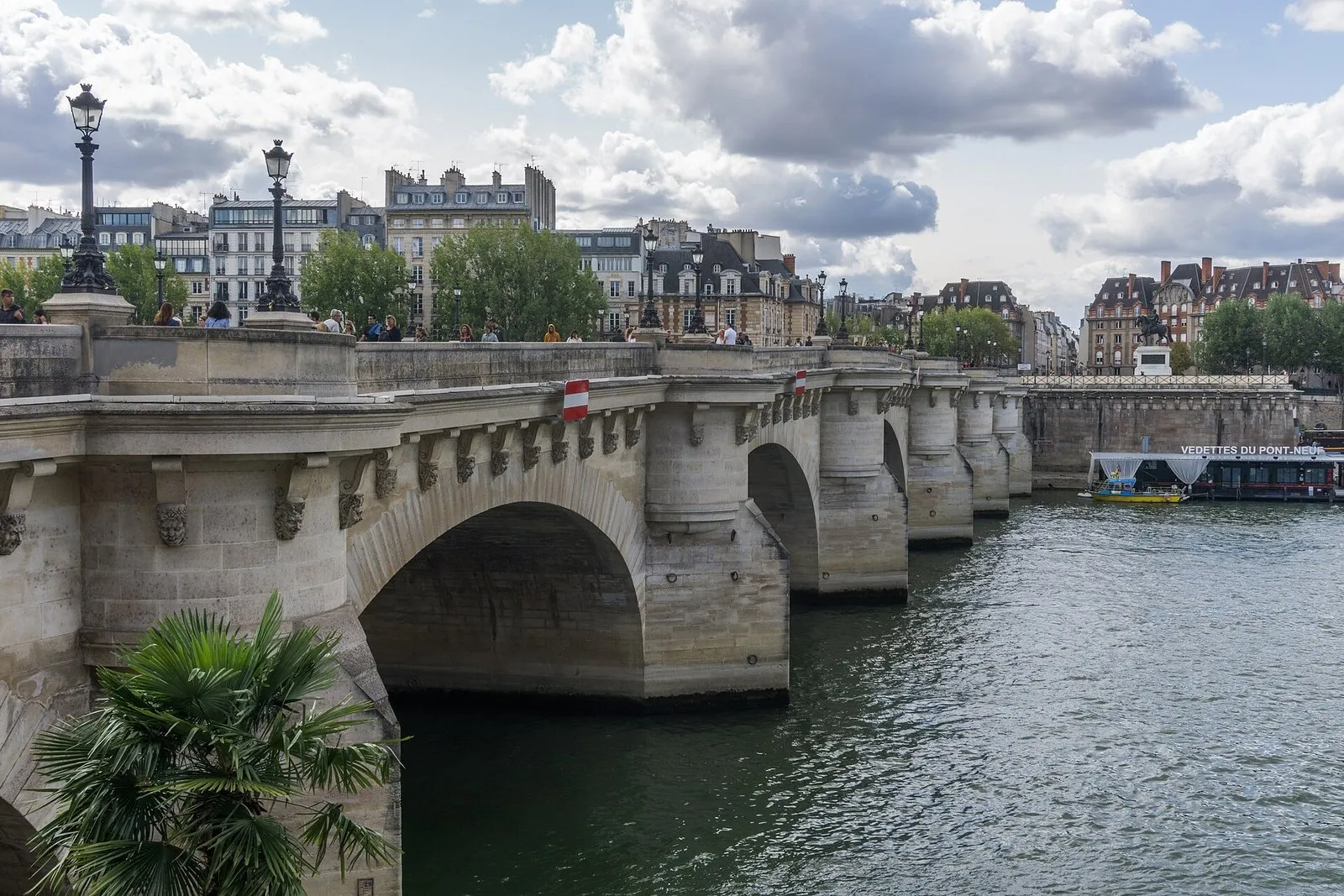
Photo: Sumit Surai, CC BY-SA 4.0, via Wikimedia Commons

Five arrondissements sit entirely on the Left Bank (the 5th, 6th, 7th, 13th and 14th), together with almost all of the 15th, except the Île aux Cygnes. Every other arrondissement is on the Right Bank, and the two islands of the city belong to neither bank. The bank matters to a traveller for one practical reason: it sets the flat taxi fare from the airports.
Since the municipal elections of 2020, the 1st to the 4th arrondissements have formed a single sector, Paris Centre, with one council and one mayor; the town hall sits in the former town hall of the 3rd.
The 80 administrative districts
Each arrondissement is divided into four administrative districts, which are the units the city publishes in its open data. They do not match the names visitors use: the Marais, Saint-Germain or Montmartre are not districts on the official map. The table lists the districts of every arrondissement with their area in hectares, followed by the number of classified hotels and rooms recorded by Atout France on 4 October 2026 (hotels only: no hostels, apartments or furnished rentals).
Photo: DXR, CC BY-SA 3.0, via Wikimedia Commons

| Arrondissement | Bank | Administrative districts (area) | Classified hotels | Rooms |
|---|---|---|---|---|
| 1st | Right | Halles (41 ha), Palais-Royal (27 ha), Place-Vendôme (27 ha), Saint-Germain-l'Auxerrois (87 ha) | 71 | 3,951 |
| 2nd | Right | Bonne-Nouvelle (28 ha), Gaillon (19 ha), Mail (28 ha), Vivienne (24 ha) | 45 | 2,263 |
| 3rd | Right | Archives (37 ha), Arts-et-Métiers (32 ha), Enfants-Rouges (27 ha), Sainte-Avoie (21 ha) | 31 | 1,084 |
| 4th | Right | Arsenal (49 ha), Notre-Dame (38 ha), Saint-Gervais (42 ha), Saint-Merri (31 ha) | 39 | 1,155 |
| 5th | Left | Jardin-des-Plantes (80 ha), Saint-Victor (60 ha), Sorbonne (43 ha), Val-de-Grace (70 ha) | 82 | 3,074 |
| 6th | Left | Monnaie (29 ha), Notre-Dame-des-Champs (86 ha), Odéon (72 ha), Saint-Germain-des-Prés (28 ha) | 102 | 3,669 |
| 7th | Left | Ecole-Militaire (81 ha), Gros-Caillou (138 ha), Invalides (107 ha), Saint-Thomas-d'Aquin (83 ha) | 64 | 2,310 |
| 8th | Right | Champs-Elysées (114 ha), Europe (118 ha), Faubourg-du-Roule (80 ha), Madeleine (76 ha) | 154 | 9,183 |
| 9th | Right | Chaussée-d'Antin (54 ha), Faubourg-Montmartre (42 ha), Rochechouart (50 ha), Saint-Georges (72 ha) | 182 | 8,455 |
| 10th | Right | Hôpital-Saint-Louis (88 ha), Porte-Saint-Denis (47 ha), Porte-Saint-Martin (61 ha), Saint-Vincent-de-Paul (93 ha) | 112 | 5,629 |
| 11th | Right | Folie-Méricourt (73 ha), Roquette (117 ha), Saint-Ambroise (84 ha), Sainte-Marguerite (93 ha) | 72 | 3,310 |
| 12th | Right | Bel-Air (597 ha), Bercy (190 ha), Picpus (721 ha), Quinze-Vingts (124 ha) | 73 | 5,590 |
| 13th | Left | Croulebarbe (69 ha), Gare (304 ha), Maison-Blanche (223 ha), Salpêtrière (118 ha) | 50 | 2,652 |
| 14th | Left | Montparnasse (113 ha), Parc-de-Montsouris (136 ha), Petit-Montrouge (135 ha), Plaisance (178 ha) | 97 | 7,013 |
| 15th | Left | Grenelle (148 ha), Javel (261 ha), Necker (158 ha), Saint-Lambert (283 ha) | 109 | 7,354 |
| 16th | Right | Auteuil (638 ha), Chaillot (142 ha), Muette (548 ha), Porte-Dauphine (309 ha) | 76 | 3,620 |
| 17th | Right | Batignolles (144 ha), Epinettes (138 ha), Plaine de Monceaux (138 ha), Ternes (147 ha) | 119 | 7,581 |
| 18th | Right | Clignancourt (165 ha), Goutte-d'Or (109 ha), Grandes-Carrières (191 ha), La Chapelle (135 ha) | 62 | 4,139 |
| 19th | Right | Amérique (184 ha), Combat (129 ha), Pont-de-Flandre (238 ha), Villette (129 ha) | 27 | 2,646 |
| 20th | Right | Belleville (81 ha), Charonne (209 ha), Père-Lachaise (160 ha), Saint-Fargeau (149 ha) | 21 | 1,127 |
Across the city the register holds 1,588 classified hotels and 85,805 rooms. The 8th and the 9th arrondissements concentrate the most classified rooms, 9,183 and 8,455, while the 19th and the 20th hold the fewest hotels, 27 and 21.
Where our thirteen areas sit
A hotel guide needs areas that match how people travel, not how the administration counts. We therefore cut Paris into thirteen areas, each anchored to one or more arrondissements and to a few administrative districts. The limits are an editorial choice, and none of them has an official boundary. The 13th, 16th, 17th, 19th and 20th arrondissements are not part of our thirteen, and the 14th is covered only through Montparnasse. The Latin Quarter, which is the 5th arrondissement here, also has a sister guide of its own.
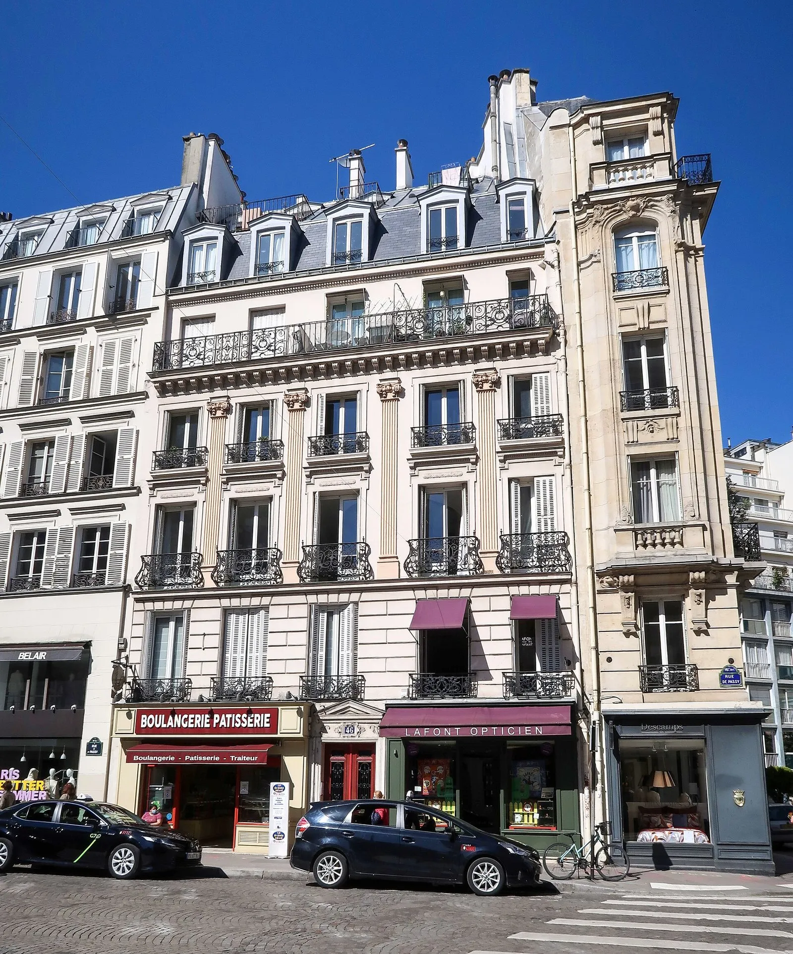
Photo: Polymagou, CC BY-SA 4.0, via Wikimedia Commons

| Our area | Arrondissements | Official districts it draws on |
|---|---|---|
| Louvre / Tuileries | 1st | Saint-Germain-l'Auxerrois, Palais-Royal, Place-Vendôme, Halles (edge) |
| Opéra / Grands Boulevards | 2nd 9th | Gaillon, Vivienne, Mail, Bonne-Nouvelle, Chaussée-d'Antin, Faubourg-Montmartre |
| Le Marais | 3rd 4th | Arts-et-Métiers, Enfants-Rouges, Archives, Sainte-Avoie, Saint-Merri, Saint-Gervais, Arsenal, Notre-Dame |
| Saint-Germain-des-Prés | 6th 7th | Saint-Germain-des-Prés, Monnaie, Odéon, Saint-Thomas-d'Aquin, Notre-Dame-des-Champs |
| Latin Quarter | 5th | Sorbonne, Saint-Victor, Jardin-des-Plantes, Val-de-Grâce |
| Montparnasse | 14th 15th | Montparnasse, Plaisance, Necker, Notre-Dame-des-Champs (edge) |
| Eiffel Tower | 7th 15th | Gros-Caillou, École-Militaire, Invalides, Grenelle |
| Champs-Élysées / Golden Triangle | 8th | Champs-Élysées, Faubourg-du-Roule, Madeleine, Europe |
| Canal Saint-Martin | 10th | Hôpital-Saint-Louis, Porte-Saint-Martin, Saint-Vincent-de-Paul, Porte-Saint-Denis |
| Bastille / Oberkampf | 11th | Folie-Méricourt, Saint-Ambroise, Roquette, Sainte-Marguerite |
| Montmartre | 18th | Grandes-Carrières, Clignancourt |
| Pigalle / SoPi | 9th | Saint-Georges, Rochechouart |
| Bercy / Gare de Lyon | 12th | Bercy, Quinze-Vingts, Picpus (edge) |
For each area the table above also gives its lines and its travel times to the Louvre, the Eiffel Tower and Notre-Dame, measured on the Île-de-France Mobilités timetable for Tuesday 13 October 2026, recalculated without the stops that works have closed: line 4 at Saint-Michel until 19 December 2026 and line 8 at République until April 2027. The full comparison, with three hotels per budget in each area, is on the home page; the arrondissement guide reads the same map by number.
Reading the colours
On the Atlas map, an arrondissement keeps its colour wherever it appears: on the map itself, in the comparison table and in the area cards of the home page. An area that spans two arrondissements, such as the Marais (3rd and 4th) or the Eiffel Tower area (7th and 15th), shows two coloured tags. Treat the colour as a label rather than a ranking: it carries no information about safety, price or quality.
What the map does not tell you
A map shows position, not experience. It does not tell you how steep a street is (Montmartre), whether a street closes to cars on Sundays (the Canal Saint-Martin quays do) or how long a metro change takes. For those points, use the area sections of the home page and the travel times in the table, which are theoretical medians without disruption.
Frequently asked questions
Which are the good areas to stay in Paris on the map?
Start from the thirteen areas in the table above: each is tied to its arrondissements and coloured in the Atlas map on the home page. Our verdicts by profile are on the home page and in the arrondissement guide; this page only explains how the map is cut.
How many arrondissements does Paris have?
Twenty. They were fixed by the law of 16 June 1859, in force from 1 January 1860, after the annexation of the communes between the Farmers-General wall and the Thiers fortifications. Each one has four administrative districts, so the city has eighty.
Is the 16th arrondissement one postcode?
No. The 16th has two postcodes, 75016 in the south and 75116 in the north. Every other arrondissement uses 750 followed by its number.
Are the islands on the Left Bank or the Right Bank?
Neither. No text we consulted assigns the Île de la Cité or the Île Saint-Louis to a bank, which is why the airport taxi flat fares, which depend on the bank, are not stated for them.